

Several storms may result in Thanksgiving travel disruptions for millions this week. Three huge winter storms will bring freezing conditions, rain and strong winds across the United States, just as millions try to travel for the holiday.
A cold front is moving across our state overnight. One storm will spin up on Monday in the Rockies. And according to the National Weather Service, a "historic" storm is heading towards southwest Oregon and northwest California Tuesday and Wednesday.
The "historic storm" will have areas of damaging winds, heavy mountain snow and heavy rain at the coast.
The storms will result in challenging if not impossible Thanksgiving travel conditions in some areas.
A wind advisory is in effect for areas along and north of the Mogollon Rim. The storm swings eastward at Wednesday.
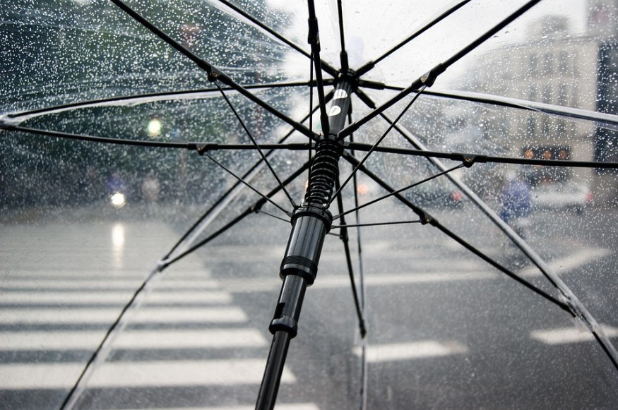
The weather is subject to change over this week. Freezing rain and sleet covered parts of the Northeast on Sunday.
A few rain showers could develop across Pinal and Pima counties.
According to CNN meteorologist Judson Jones, the storm is forecast to rival the strength of a Category 1 hurricane and pack wind gusts up to 74 mph. Valley wind speeds will be greater for a few hours with gusts near 25 mph.
In the East, a storm system brought heavy rain to various cities during Sunday, from Philadelphia and New York City to Boston.
According to the NWS office, heavy snow was falling in the Philadelphia area around noon Sunday.
The weather disturbance that will manifest itself into a Great Plains rain/snowstorm is currently ejecting out of the Great Basin of Nevada.
A severe storm will pummel California this week, bringing about heavy snow and heavy rain.
Winds are forecast to remain gusty in New York on Thanksgiving Day.
According to Orlando Veras, a Macy's Parade spokesman, the famous balloons of the Macy's Thanksgiving Day Parade can only be operated if sustained wind conditions stay below 23 mph and wind gusts are not expected to surpass 34 mph based on city regulations.
These regulations were not in effect during the 1997 Macy's Thanksgiving Day Parade.
The worst time for travel is Midwest Tuesday into Wednesday.
"At this time, enough snow to create winterlike travel is anticipated from central and northeastern Colorado to much of Nebraska, northern Kansas, much of Iowa, northwestern Missouri, northwestern Illinois, central and eastern Wisconsin, southeastern Minnesota and northern Michigan," AccuWeather Senior Meteorologist Brett Anderson stated.
According to the Portland NWS, "Travel could be very difficult as heavy snow leads to snow covered roads." This may also lead to downed tree limbs and scattered power outages.
Meanwhile, winds were consistent at 30 to 40 mph gusting to 60 mph at times are possible in the Texas and Oklahoma Panhandles.
Stormy conditions will arrive between Tuesday afternoon and night in cities such as Kansas City, Omaha, Des Moines and Minneapolis.
Somewhere else in Southern California, more than 10 million people are under flash flood watches from San Diego to Anaheim.
RELATED ARTICLE: Tropical Storm Debby: Safety Tips for Tropical Storms and Hurricanes
This article is copyrighted by Travelers Today, the travel news leader